Estate Surveyor
Tarmac
Polly B
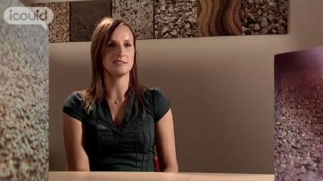
00:00:03 My name is Polly B, I’m an estate surveyor for Tarmac and I’m based in Essex in a town called Colchester where we have one of our quarries and is our regional office. An estate surveyor touches on a lot of subjects. It’s primarily managing a property portfolio for Tarmac which involves looking after land that we own or land that we have as a lease.
00:00:30 We have geologists that help inform decisions we made, we have engineers that help inform decisions we make, we work with all sort of different people throughout Tarmac and they all help provide information that we need to put planning applications together to get permissions for new quarries or new asphalt or concrete plants.
00:00:53 When I was at school I was very interested in the countryside, I grew up on a farm, wasn’t interested in intellectual work whatsoever. Really keen on sports and was never the top of the class. When I first thought about my career I wanted to be a vet which was obviously related to living on a farm and growing up with animals and such. And when I had to choose my career path at 16 I didn’t really want to commit to such intellectual subjects such as chemistry and physics and biology.
00:01:31 So, I decided to go for the sort of more every day geography, geology, English. I also did performing arts to give me a bit of diversity in there. And then I had a year out because I just didn’t know where I wanted to go, if I wanted to go to university or if I wanted to go straight into work and with the A Levels I’d got, no particular career path it chose for me and in my year out I travelled to Kenya and lived on a farm out there, on a dairy farm and came back knowing kind of where I wanted to go and what path I wanted to take.
00:02:08 So, I embarked on a university course at Newcastle and I did countryside management and I think that’s when I was first introduced to chartered surveying and becoming involved in managing land and I started my first job as a land agent going down a rural route rather than a minerals route.
00:02:33 Going to Kenya was certainly a turning point. It made me realise how people have different values in life. Out there the values are much more basic, survival, food and shelter and just getting through every day. So, it was real chance to make me sort of grow up in a way and appreciate things in life and an 18 year old coming from London had obviously bigger issues going on that actually were irrelevant when you’re out there.
00:03:06 You had to just muck in and enjoy from day to day and I maybe did things there that I would never have done six months before going and it just gave me a better perspective on life and made me sort of channel more where I wanted to go with my life.
00:03:23 I felt really proud when I finally got my RICS qualification. It had been a long process, lots of years, lots of hard work and when I finally got those exam results in the post that was probably one of the best days. My husband held a surprise party that I had no idea to and being me walked in and burst into tears when everybody started shouting.
00:03:52 In five to 10 years time I hope I would’ve progressed up the career ladder a bit, maybe be an estate’s manager. Who knows.
ENDS
Polly B is a Surveyor for Tarmac, looking after land they own or lease. She was always interested in the countryside but didn’t decide what to do for a career until she took a gap year in Kenya, living on a farm there. “Going to Kenya was certainly a turning point. It made me realise how people have different values in life.”
More information about Chartered surveyors
The UK average salary is £29,813
There are 37.5 hours in the average working week
The UK workforce is 47% female and 53% male
Future employment
- Surveys, measures and describes land surfaces to establish property boundaries and to aid with construction or cartographic work;
- Surveys mines, prepares drawings of surfaces, hazards and other features to control the extent and direction of mining;
- Surveys buildings to determine necessary alterations and repairs;
- Measures shore lines, elevations and underwater contours, establishes high and low water marks, plots shore features and defines navigable channels.
